დაშბაშის კანიონის ბუნების ძეგლი | Dashbash Canyon Natural Monument
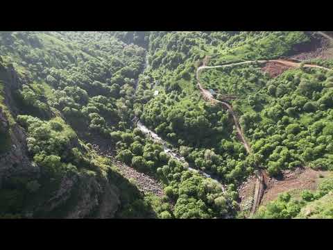
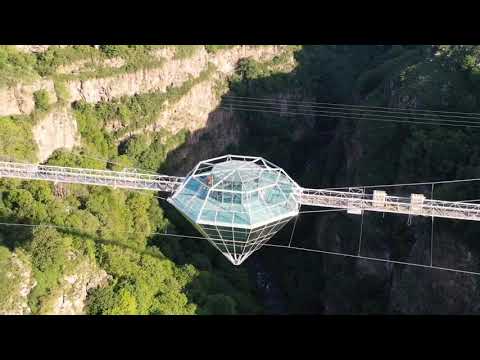
ბუნების ძეგლი წარმოადგენს მდ. ქციის (ხრამის) მიერ დაშბაშის ლავურ მაღლობზე, ვულკანოგენურ ქანებში ჩაჭრილ კალაპოტში გამომუშავებულ იშვიათი და ბიომრავლფეროვნებით გამორჩეულ კანიონისებურ ხეობას. კანიონის ირგვლივ არსებული ეკოსისტემები საკმაოდ ღარიბია მცენარეული საფარით, ხოლო კანიონში არსებულ ციცაბო ფერდობებზე შეფენილი მცენარეულობა, თვალწარმტაცი ჩანჩქერები, სრულიად განსხვავებულ მიკროლანდშაფტს ქმნის მისთვის დამახასიათებელი მიკრო კლიმატით, თავისებური ფაუნით და ა.შ. მდებარეობა: წალკის მუნიციპალიტეტი, მდ. ხრამის (ქცია) ხეობა, სოფ. დაშბაშის მიდამოები. 1110-1448 მეტრი ზღვის დონიდან. კოორდინატები: N41 35.651 E44 07.458 Dashbash Canyon Natural Monument is a canyon carved by Ktsia (Khrami) River in the stream bed cut through the volcanogenic rocks of Dashbash volcanic plateau, distinguished by its rarity and biodiversity. It is located at 1,110-1,448 m above sea level. The vegetation cover of the surrounding ecosystem is rather sparse, whereas the plants on the steep slopes of the canyon and astounding waterfalls create absolutely different micro-landscape, with characteristic micro-climate, specific fauna etc. How to get there: the nearest populated area is a village of Dashbash of Tsalka Municipality, which is linked to the town of Tsalka with a 3 km gravel road and 10 minutes by car. The area is 92 km and 1 hr and 40 min away from Tbilisi. The distance from Algeti National Park to Dashbash Canyon is 42 km, which is 50 minutes drive. Coordinates: X: 42 77 71 Y- 46 03 794. Web ➡ https://www.apa.gov.ge Facebook ➡ / protectedareas.ge Instagram ➡ / protectedareas Twitter ➡ / protectedareas_
დაცული ტერიტორიების სააგენტო-ის სხვა ვიდეოები
 07:50
07:50
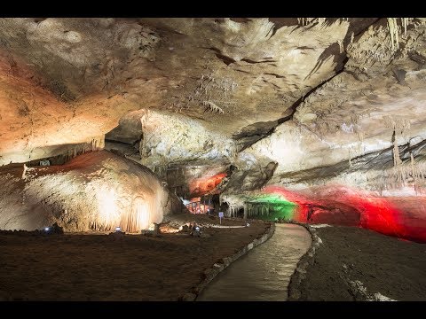
პრომეთეს მღვიმე - გადაცემა ნანუკას შოუ
 01:11
01:11
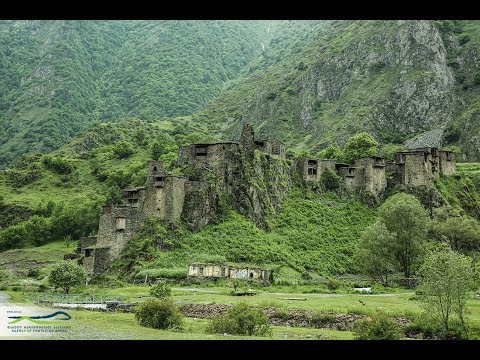
ფშავ-ხევსურეთის ეროვნული პარკის მიმდებარედ მცხოვრე...
 13:32
13:32
საიმედო ტური ოკაცეს კანიონზე | Okatse Canyon
 06:50
06:50
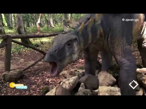
სათაფლია - გადაცემა "დილის ტალღა"
 04:05
04:05
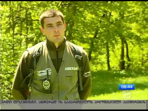
ისტორიაში პირველად ალგეთის ეროვნულ პარკში წავების ...
 00:20
00:20
ლაგოდეხის დაცულ ტერიტორიებზე ისტორიაში პირველად, ნ...
 03:16
03:16
National Park 360 ° - Birtvisi Canyon
 09:03
09:03
"იმედის დრო" ბრაკონიერების წინააღმდეგ
მსგავსი ვიდეოები

დაშბაშის კანიონის ჩანჩქერი
Leila Burnadze
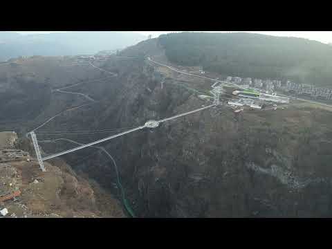
დაშბაშის კანიონის ხიდი / Dashbashi Canyon Bridge
Lasha Mtvaradze
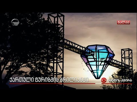
დაშბაშის კანიონის ახალი სიცოცხლე - 15 ივნისიდან წალკას მსოფლ...
TV IMEDI
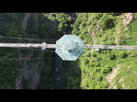
დაშბაშის კანიონის ხიდი / Dashbashi Canyon Bridge
Lasha Mtvaradze

დაშბაშის კანიონის ხიდი / Dashbashi Canyon Bridge
Lasha Mtvaradze

დაშბაშის კანიონის ხიდი / Dashbashi Canyon Bridge
Lasha Mtvaradze
დაშბაშის კანიონის ხიდი / Dashbashi Canyon Bridge
Lasha Mtvaradze
დაშბაშის კანიონის ხიდი / Dashbashi Canyon Bridge
Lasha Mtvaradze